Get in touch with from Rastros
Rastros
Rastros offers a GIS (geographic information system) which allows farmers to easily monitor the status of their crops. Rastros's system provides metrics and tools that help growers address challenges and organize their fields.
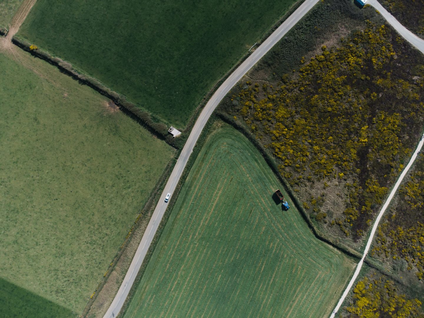
Using satellite imagery and mapping technology, the company is able to construct visuals of growing spaces. In order to help farmers maximize the agricultural potential of their land, Rastros helps to interpret satellite imagery, analyze environmental factors, and the potential for productivity that the land has. Rastros offers a variety of different services, each meant to aid in a part of the growing process. - Satellite Measurement: Using satellite imagery, Rastros georeferences and digitalizes parcels of land. The company also maps out infrastructure and allows growers to divide their land digitally. The satellite measurement service also include altimetric visuals which provide growers with a topographic map of their land. - Flooding Risk Maps: With the aid of altimetric mapping and historical satellite imagery, Rastros determines areas of flood risk during abundant rainfall. These maps show the progress of water through fields after heavy rainfall. These maps allow farmers to build flood resistance and manage the risk of crop loss to flooding. - Productivity Maps: Using historical imaging and yield data, Rastros differentiates areas based on their productive potential. This helps farmers efficiently use their resources to maximize crop yields. - Supply Maps: With the aid of productivity maps and soil sampling, agronomists are able to make decisions regarding the varying amounts of supplies applied to certain areas based on need and productive potential. - Yield Maps: Using data gathered by grain yield or chopped material monitors these maps are created to show dry yield, wet yield, growth, crop flow, and elevation. - Field Rental/Purchase Maps: These maps allow growers and potential buyers to understand the land they are looking to rent or purchase. Some of the metrics that are displayed on this map include surface per batch, agricultural and stockbreeding surface, areas with flood risk, and infrastructure mapping.
- Headquarters
- Rosario, Santa Fe Province, Argentina
- Countries of operation
- Argentina
- Year Founded
- 2014
- View Website
- http://www.rastrosgis.com/en/
ASAP Classifications
- Climate Related Hazards
- Changing precipitation patterns and types (rain, hail, snow/ice)
- Human and Managed Systems
- Damages to physical infrastructure, property, and critical services, Impacts to human health, and loss of livelihoods, Reduced agricultural productivity and food security
- Physical and Biological Systems
- Flood
Additional Info
- Generating revenue?
- We are generating revenue
Last updated: January 27, 2022