Get in touch with from Earth Analytics India Ltd.
Earth Analytics India Ltd.


Earth Analytics India uses drone and satellite data to analyze changes in agriculture, forestry, and infrastructure in India. The company was born out of the RIICE (Remote sensing-based Information and Insurance for Emerging economies) project and is backed by Sarmap SA, the Swiss satellite technology expert. Powered by MAPscape, a software developed by Sarmap SA, EarthAnalytics India makes use of both optical as well as infrared sensors.
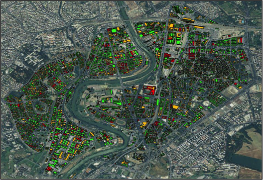
Agriculture: The view of fields from space was too often blocked by clouds in the pasts. But with ever more satellites that are equipped with radar sensors and the ability of Earth Analytics India to monitor crops over large area, clouds are not a challenge anymore in space-borne crop monitoring; Foresty: Forests are an important asset, for investors, insurers and environmentalists alike. Satellite technology can assess the biomass of forests, regardless of the weather conditions and assess the condition of the forests; Infrastructure: Satellite's radar sensors measure distances and by that observe changes in the range of millimetres. This allows detection of unstable infrastructure such as moving pipelines, cracks in bridges or sliding airport runways.
- Headquarters
- CST Road, Mumbai, Maharashtra, India
- Countries of operation
- India, Switzerland
- Year Founded
- 2017
- View Website
- https://www.earthanalytics.in/
ASAP Classifications
- Climate Related Hazards
- Changing precipitation patterns and types (rain, hail, snow/ice), Changing temperature (air, freshwater, marine water)
- Human and Managed Systems
- Damages to physical infrastructure, property, and critical services, Reduced agricultural productivity and food security
Primary Contact Information
- Name
- Anuj Sharma
- Phone
- Tel: +91 22 2215 3388
- info@earthanalytics.in
Last updated: April 16, 2021